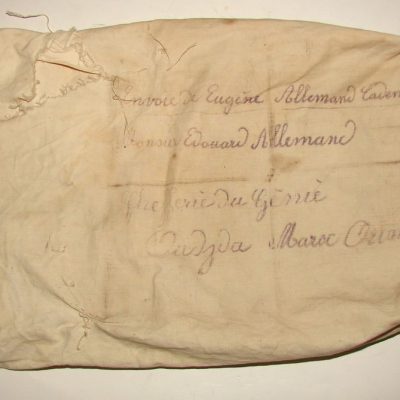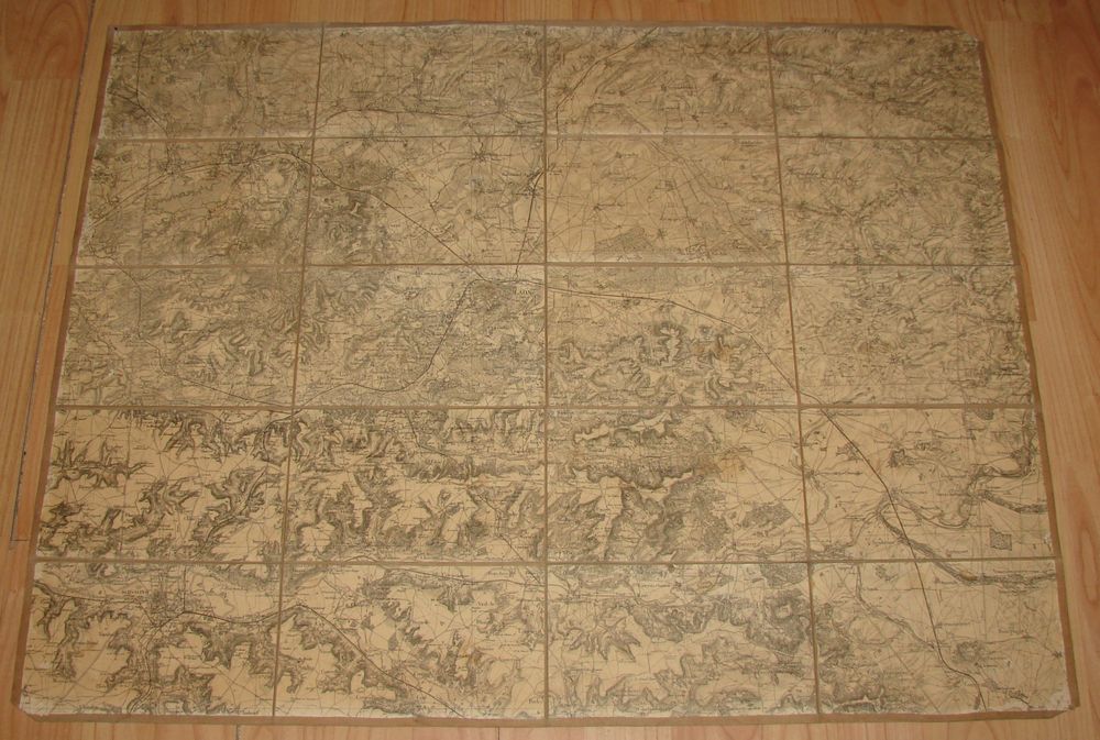
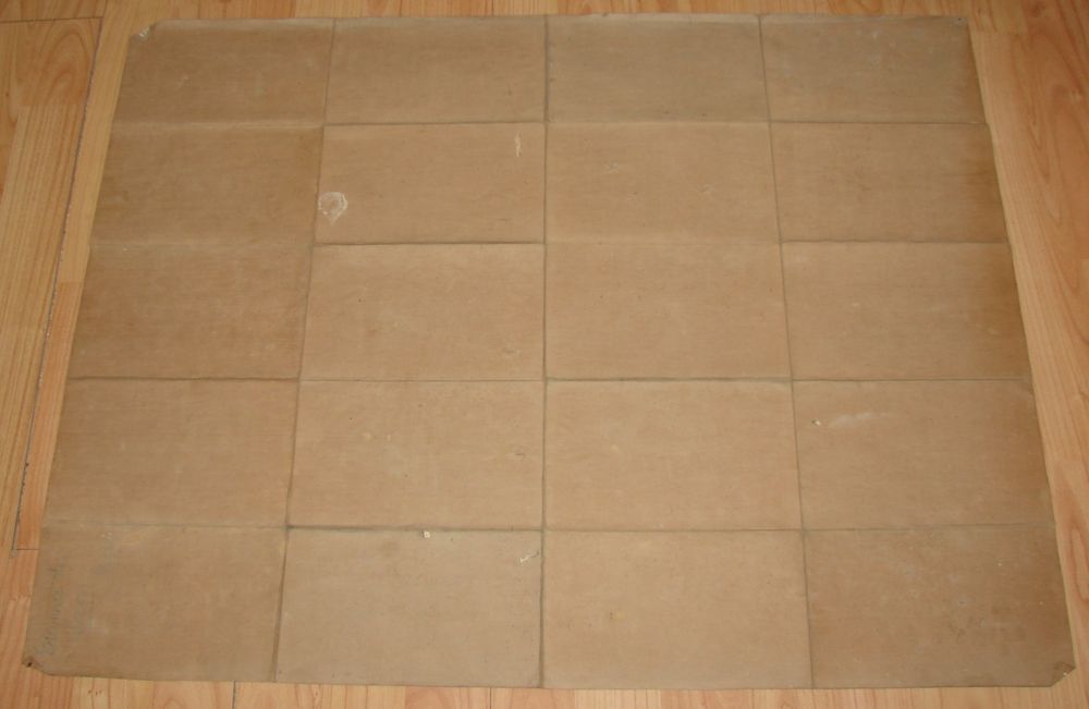

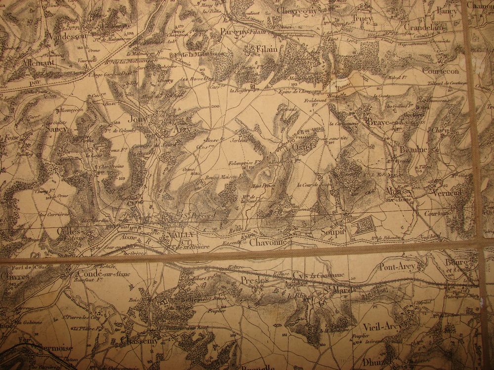
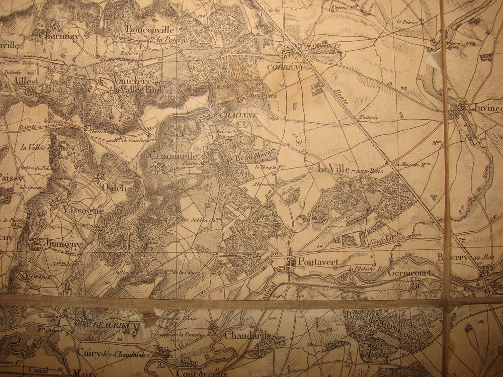
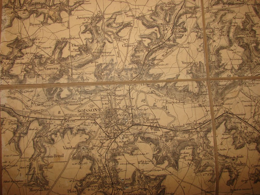
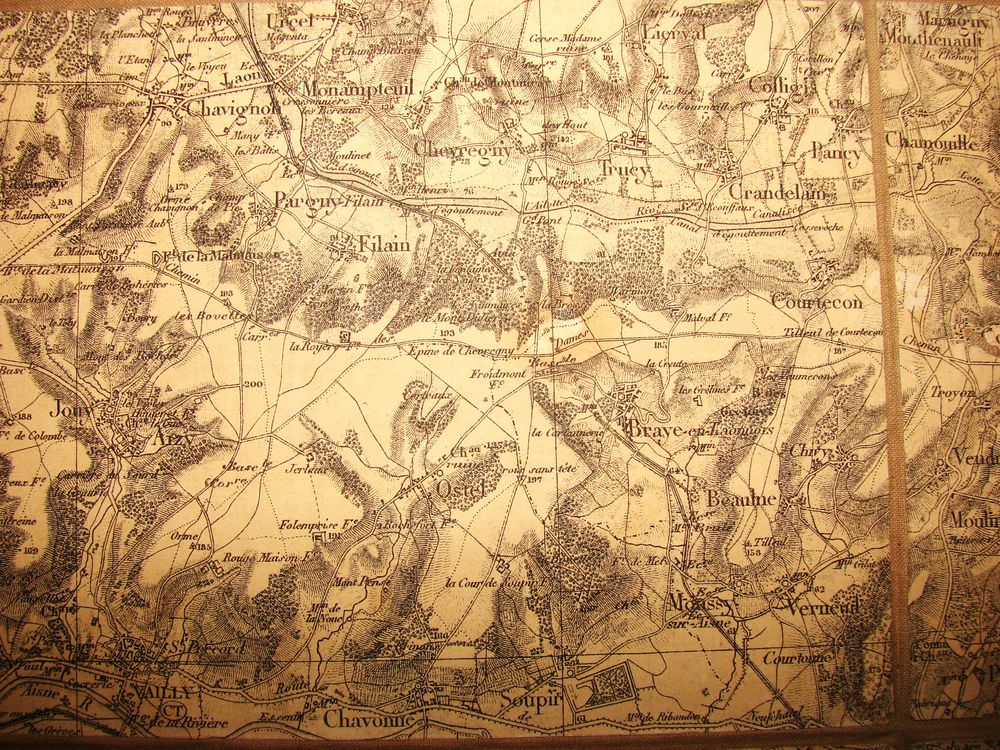
General staff map of the Laon region.
50,00€
In stock
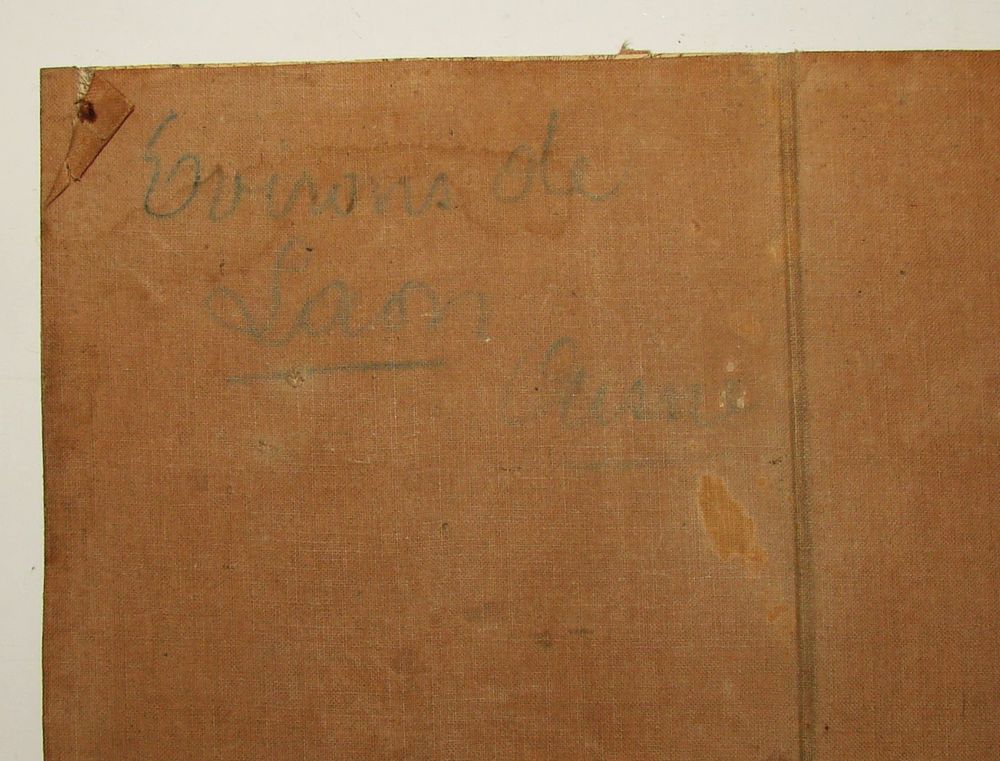
A French linen-backed military map from the First World War, showing the Laon region. The map includes the towns of Laon, Soissons, Craonne, Pontavert, Berry-au-Bac, the Chemin des Dames, etc. It is pinned to the wall. The front is inscribed "Environ de Laon Aisne" (Around Laon, Aisne).
Additional information
| Weight | 0,2 kg |
|---|